Hydrography Project Visuals
A clean visual archive for hydrographic survey activities, technical fieldwork and water environment mapping documentation.
5 gallery items
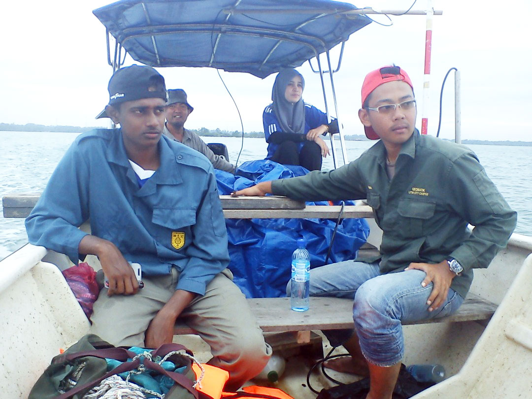
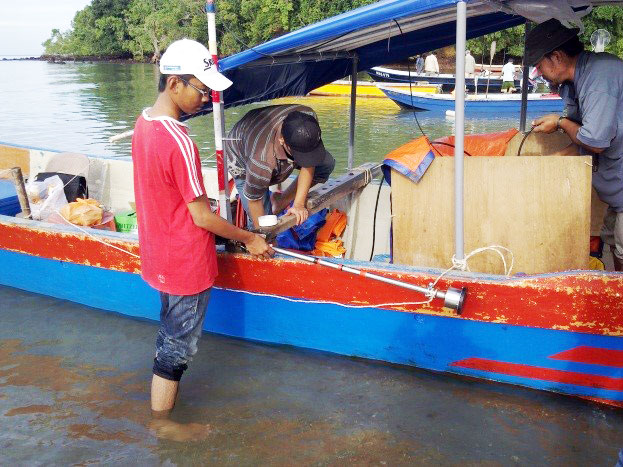
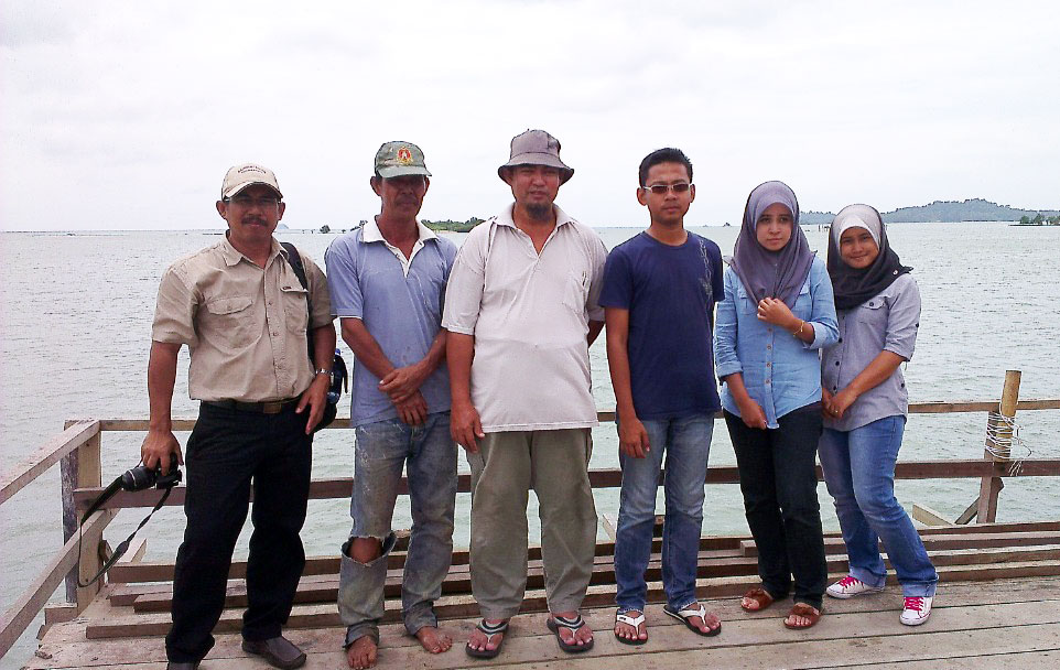
Water-based survey documentation
Hydrography works require accurate positioning, controlled observation and reliable project records. This gallery presents selected field visuals in a modern, easy-to-browse format.
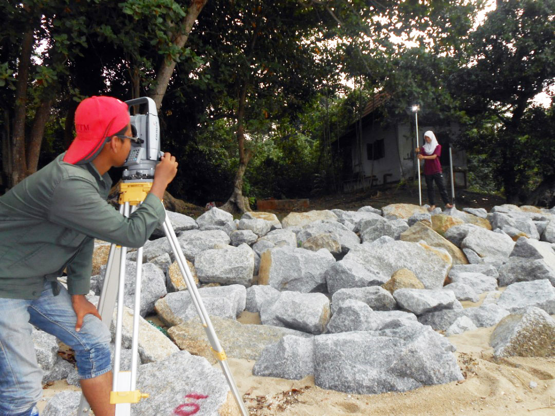
Project Capabilities
Marine and river survey support
Survey-grade positioning workflow
Technical reporting documentation