Drone Survey & Geospatial Intelligence
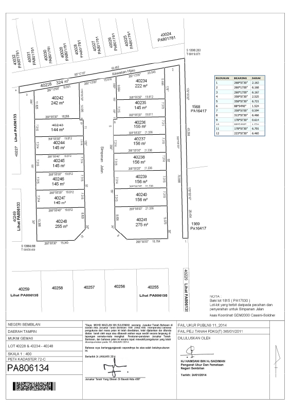
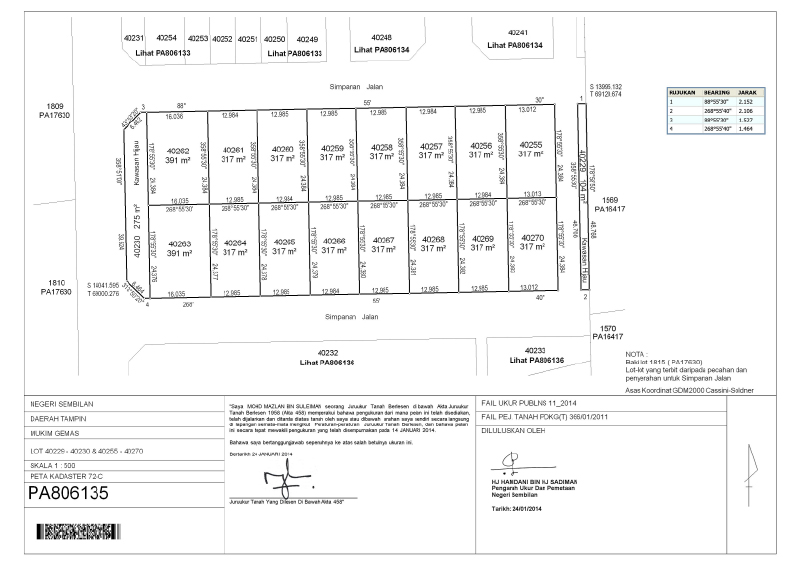
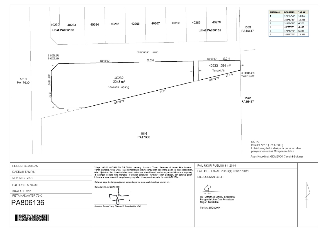
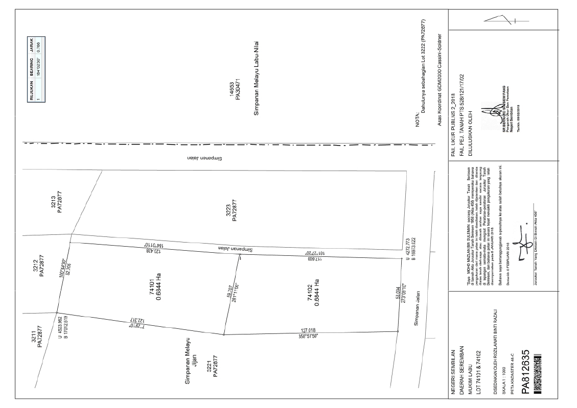
Cadastral Survey Gallery
High-resolution cadastral imagery for mapping, project progress, terrain analysis and professional geospatial presentation by Jurukur Teras.
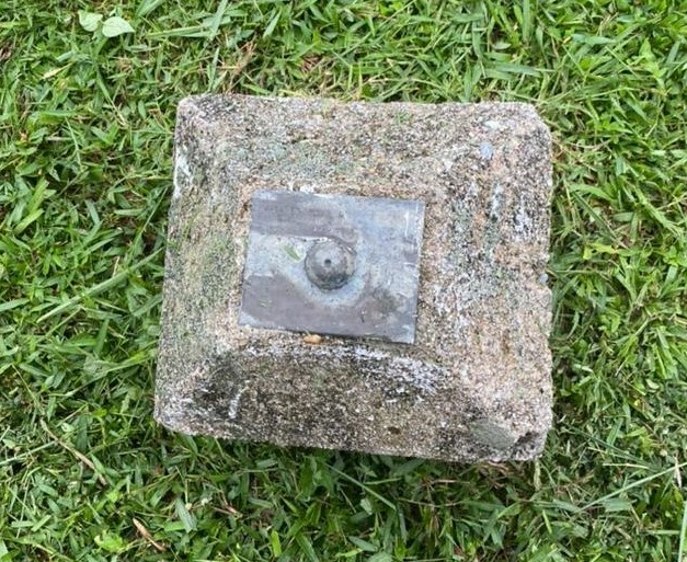
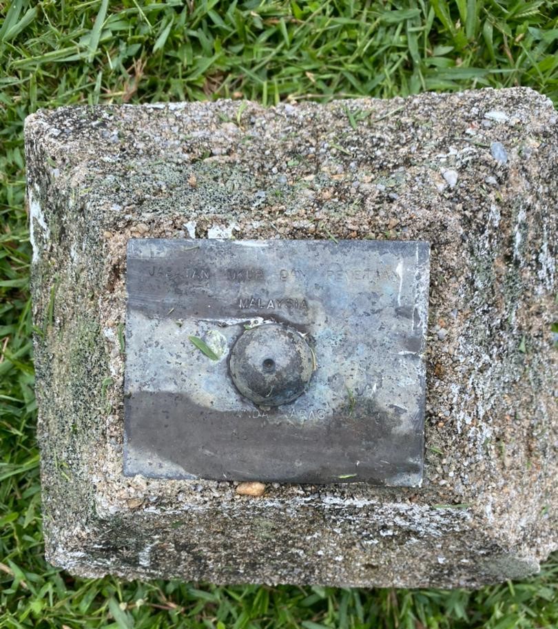
Cadastral field precision
Boundary · Lot detail · Field evidence · Land documentation
8
Cadastral visuals showcased
GIS
Land record documentation
LOT
Boundary-focused reference
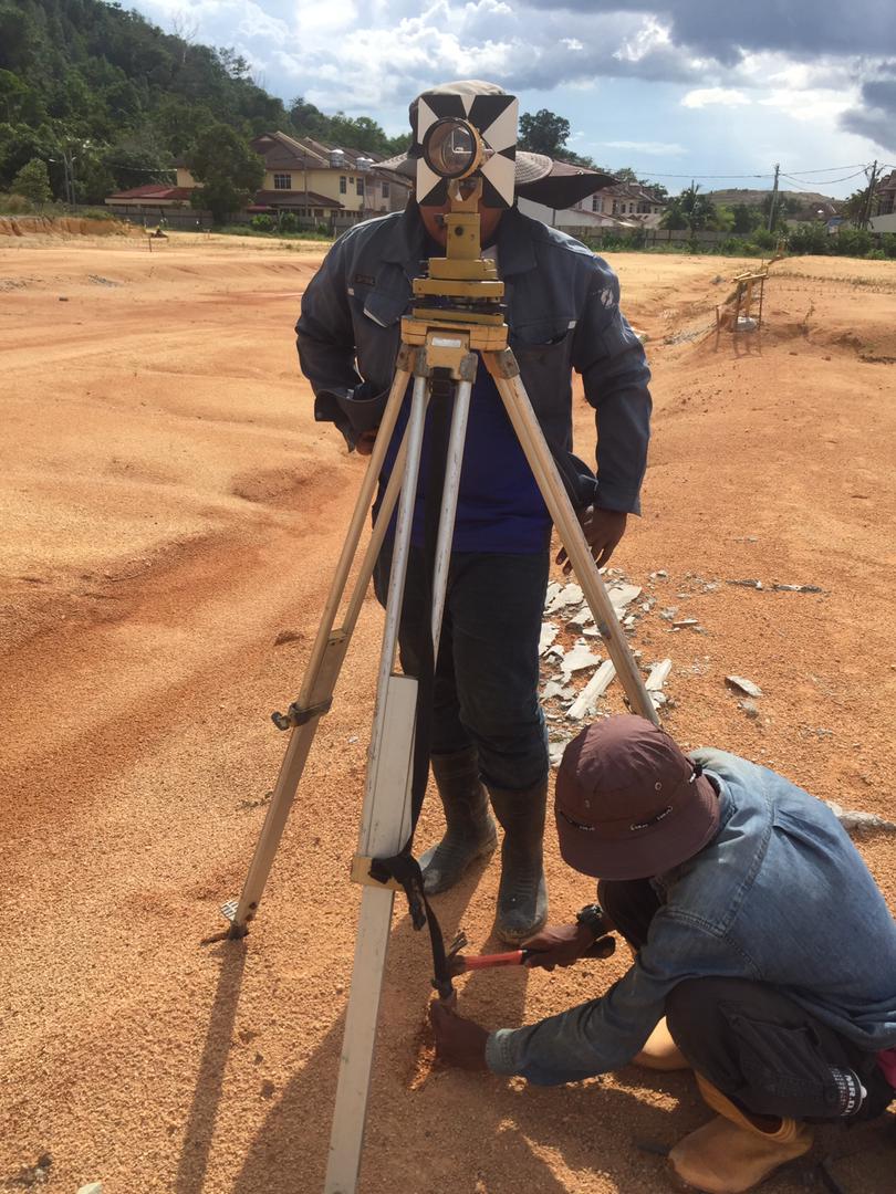
Accurate site reference
Suitable for land observation, boundary context and project presentation.
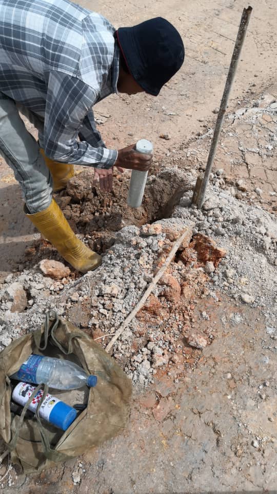
Visual project evidence
Clear cadastral records for progress reporting and technical documentation.
Better decision view
Structured survey visuals help teams understand land, lot and boundary context faster.
Need cadastral survey for your project?
Speak with Jurukur Teras for professional survey, mapping and geospatial support tailored to your project requirement.